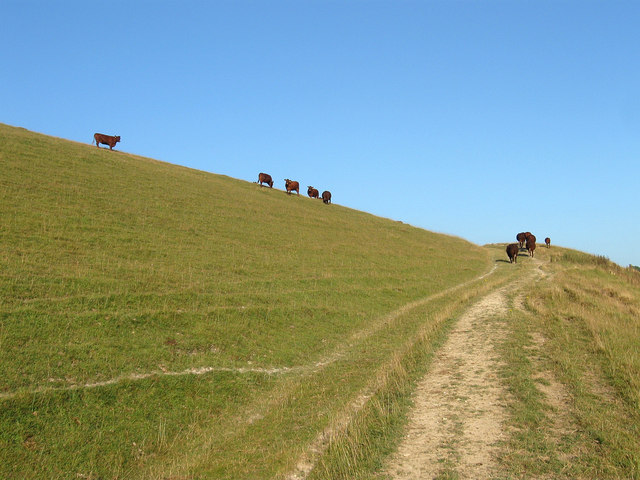
TQ0907 : Tennants Down
taken 11 years ago, near to Clapham, West Sussex, England

Clapham is a small parish to the north west of Worthing and is bounded by Patching to the West, Sullington to the north, Findon to the north east, Durrington to the east and Goring to the south. The latter two are now part of the borough of Worthing. The parish also consisted of two detached portions based around Lee Farm and Michelgrove House these were transferred to Angmering and Patching respectively in 1933. The whole parish is situated on chalk downland though parts have a later covering of clay and may account for the large amount of woodland that still exists today.
The main settlement of Clapham lies in the south west corner and follows a single dead end street though there are suggestions that the original village may have been located closer to the church which lies on the edge of Clapham Wood. A hamlet existed at Holt during the medieval period but is now little more than a farm and a couple of cottages. Further north was Michelgrove which later became a large house and park until it was knocked down in the 19th century by new owner, the Duke of Norfolk. Lastly, within the vicinity of the remote Lee Farm was a medieval leper colony which has long disappeared though a leper's window can still be seen at the church, and the path leading from the church to the former colony is sometimes known locally as the leper's path.
The major road through the parish is the modern A27 which follows the course of an ancient route which dates back to Roman times. The eastern part was made a dual carriageway in the 1960s though the western end remained single carriage until the 1990s when the current junction with the A280 was constructed. Another east-west road ran further north from Findon over Patching Hill then continued to the south of Angmering Park on its way to Arundel. This road was downgraded to bridleway when the new turnpike was opened in 1823. That road is currently the A280 which is known as Longfurlong through its entire length. At the junction with Longfurlong Lane it turns south and heads towards the A27 forming the parish boundary with Patching. Longfurlong Lane is also an old route that runs northwards to Storrington over Blackpatch Hill.
Other than agriculture the only industry to appear in the parish was the old brickworks on the common. The earliest records date from the first third of the 18th century and clay was extracted over the centuries to make bricks and tiles. The works closed in 1974 and are now a timber yard and a highways depot.
Much of the southern part of the parish is taken up by Clapham Woods which cover an extensive area north of the village. Judging by old field names some of the woods were once heathland which were either planted or left to waste. The woods suffered greatly in the storms of 1987 and 1990 and parts are now open again. They also suffer from a reputation for strangeness which originated from a series of mysterious deaths and canine disappearances during the 1970s resulting on various ufologists and witch hunters searching the woods for evidence of the unexplained.
