2013
SX4361 : Farmland, Landulph
taken 11 years ago, near to Landulph, Cornwall, England
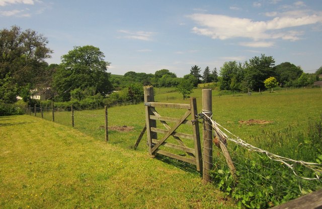
Farmland, Landulph
A gate and fence between fields of pasture on the opposite side of the lane from the church. The buildings on the left are at Lower Marsh Farm.
 Map © Crown Copyright")
TIP: Click the map for more Large scale mapping
- Grid Square
- SX4361, 40 images (more nearby 🔍)
- Photographer
- Derek Harper (more nearby)
- Date Taken
- Friday, 7 June, 2013 (more nearby)
- Submitted
- Wednesday, 24 July, 2013
- Subject Location
-
OSGB36:
 SX 430 615 [100m precision]
WGS84: 50:25.9383N 4:12.7178W - Camera Location
-
OSGB36: SX 4308 6154
- View Direction
- West-northwest (about 292 degrees)