2013
HT9539 : On Hamnafield, Foula
taken 11 years ago, near to Da Toon o Ham, Foula, Shetland Islands, Scotland
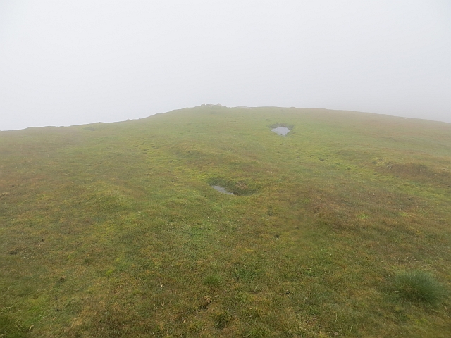
On Hamnafield, Foula
East ridge of Da Sneug in fog, the visibility helped as it rendered us invisible to some of the bonxies thus reducing attacks.
The ridge is quite gentle, unlike nearly every other slope on Foula.
The ridge is quite gentle, unlike nearly every other slope on Foula.
 Map © Crown Copyright")
TIP: Click the map for more Large scale mapping
- Grid Square
- HT9539, 8 images (more nearby 🔍)
- Photographer
- Richard Webb (more nearby)
- Date Taken
- Wednesday, 3 July, 2013 (more nearby)
- Submitted
- Friday, 26 July, 2013
- Subject Location
-
OSGB36:
 HT 9560 3908 [10m precision]
WGS84: 60:8.1733N 2:4.8608W - Camera Location
-
OSGB36: HT 9556 3907
- View Direction
- EAST (about 90 degrees)