2013
SX3663 : River Lynher
taken 11 years ago, near to Pillaton, Cornwall, England
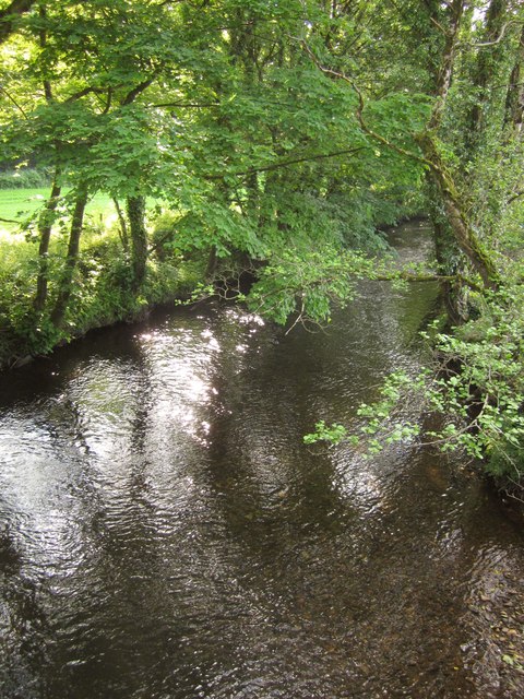
River Lynher
Looking upstream from Pillaton Bridge (SX3663 : Bridge at Pillatonmill). On the left is the field shown in SX3663 : Field by the Lynher.
 Map © Crown Copyright")
TIP: Click the map for more Large scale mapping
- Grid Square
- SX3663, 14 images (more nearby 🔍)
- Photographer
- Derek Harper (more nearby)
- Date Taken
- Friday, 7 June, 2013 (more nearby)
- Submitted
- Sunday, 28 July, 2013
- Subject Location
-
OSGB36:
 SX 3649 6323 [10m precision]
WGS84: 50:26.7644N 4:18.2583W - Camera Location
-
OSGB36: SX 3651 6322
- View Direction
- Northwest (about 315 degrees)