2013

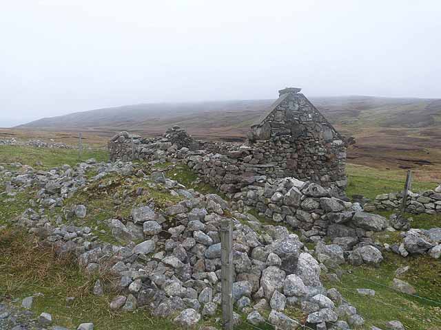
HU2053 : Ruined cottage at Litlapund

taken 11 years ago, near to Dale of Walls, Mainland, Shetland Islands, Scotland

Ruined cottage at Litlapund
See also HU2053 : Ruins at Litlapund. A day of very low cloud.

Creative Commons Licence [Some Rights Reserved]   © Copyright Oliver Dixon and licensed for reuse under this Creative Commons Licence.
Geographical Context: Housing, Dwellings Moorland other tags: Ruined Cottage Moorland Click a tag, to view other nearby images.
This photo is linked from: Automatic Clusters: · Litlapund [2] ·
1:50,000 Modern Day Landranger(TM) Map © Crown Copyright
+
+
1:50,000 Modern Day Landranger(TM) Map © Crown Copyright
TIP: Click the map for more Large scale mapping
Grid Square
HU2053, 5 images   (more nearby 🔍)
Photographer
Oliver Dixon   (more nearby)
Date Taken
Monday, 20 May, 2013   (more nearby)
Submitted
Monday, 29 July, 2013
Subject Location
OSGB36: geotagged! HU 2013 5322 [10m precision]
WGS84: 60:15.7628N 1:38.2822W
Camera Location
OSGB36: geotagged! HU 20158 53239
View Direction
Southwest (about 225 degrees)
Clickable map
+
NW N NE
W Go E
SW S SE
Image classification(about): Geograph (Second Visitor for HU2053)
This page has been viewed about 14 times
You are not logged in login | register