2013
NH9134 : Badnonan from the south
taken 11 years ago, near to Badnonan [other Features], Highland, Great Britain
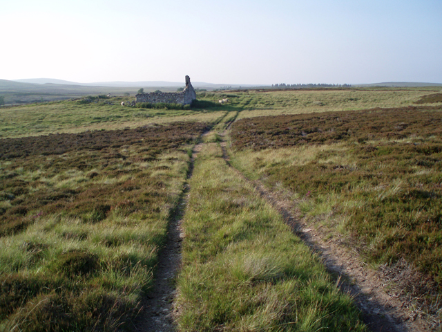
Badnonan from the south
A ruined farm amongst moorland.
 Map © Crown Copyright")
TIP: Click the map for more Large scale mapping
- Grid Square
- NH9134, 10 images (more nearby 🔍)
- Photographer
- Dorothy Carse (more nearby)
- Date Taken
- Wednesday, 10 July, 2013 (more nearby)
- Submitted
- Monday, 29 July, 2013
- Subject Location
-
OSGB36:
 NH 9175 3441 [10m precision]
WGS84: 57:23.2316N 3:48.1450W - Camera Location
-
OSGB36: NH 9176 3434
- View Direction
- NORTH (about 0 degrees)