2013
TQ2130 : Track junction, St. Leonard's Forest
taken 11 years ago, near to Roffey, West Sussex, England
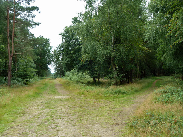
Track junction, St. Leonard's Forest
There is a network of paths and tracks in the forest.
 Map © Crown Copyright")
TIP: Click the map for more Large scale mapping
- Grid Square
- TQ2130, 147 images (more nearby 🔍)
- Photographer
- Robin Webster (more nearby)
- Date Taken
- Wednesday, 31 July, 2013 (more nearby)
- Submitted
- Thursday, 1 August, 2013
- Subject Location
-
OSGB36:
 TQ 2165 3086 [10m precision]
WGS84: 51:3.8518N 0:15.9191W - Camera Location
-
OSGB36: TQ 2167 3087
- View Direction
- West-southwest (about 247 degrees)