2013
SE1643 : Bingley Road - viewed from near Derry Hill Farm
taken 11 years ago, near to Menston, Bradford, England
This is 1 of 2 images, with title starting with Bingley Road - viewed from near Derry Hill in this square
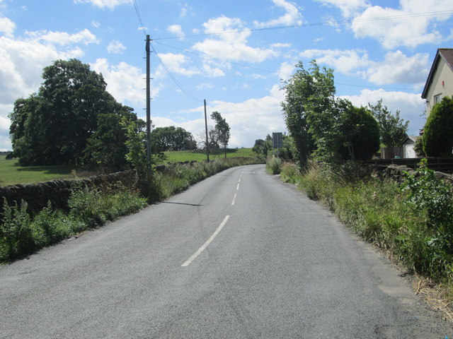
Bingley Road - viewed from near Derry Hill Farm
 Map © Crown Copyright")
TIP: Click the map for more Large scale mapping
- Grid Square
- SE1643, 63 images (more nearby 🔍)
- Photographer
- Betty Longbottom (more nearby)
- Date Taken
- Saturday, 3 August, 2013 (more nearby)
- Submitted
- Saturday, 3 August, 2013
- Subject Location
-
OSGB36:
 SE 1655 4335 [10m precision]
WGS84: 53:53.1646N 1:44.9819W - Camera Location
-
OSGB36: SE 1655 4336
- View Direction
- South-southwest (about 202 degrees)