2013
NU1433 : Road near Outchester
taken 11 years ago, near to Spindlestone, Northumberland, England
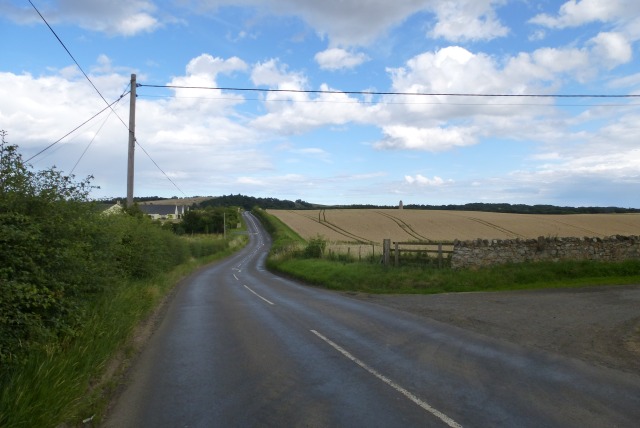
Road near Outchester
In the distance Outchester Ducket can be seen (windmill like structure).
 Map © Crown Copyright")
TIP: Click the map for more Large scale mapping
- Grid Square
- NU1433, 94 images (more nearby 🔍)
- Photographer
- DS Pugh (more nearby)
- Date Taken
- Monday, 12 August, 2013 (more nearby)
- Submitted
- Tuesday, 13 August, 2013
- Subject Location
-
OSGB36:
 NU 1425 3355 [10m precision]
WGS84: 55:35.7223N 1:46.5264W - Camera Location
-
OSGB36: NU 14071 33504
- View Direction
- East-northeast (about 67 degrees)