2013
NU2136 : Churn Gut
taken 11 years ago, 3 km from Red Barns, Northumberland, England
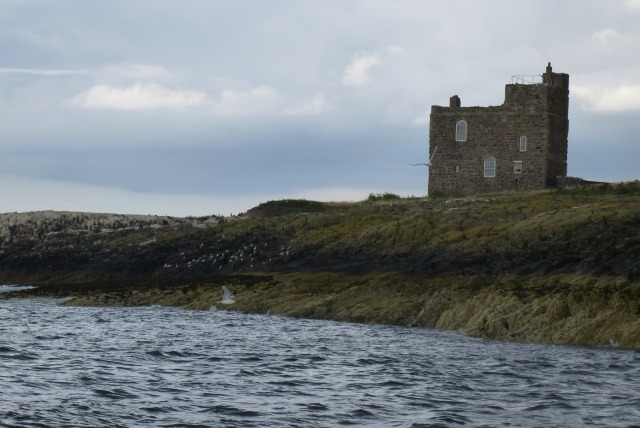
Churn Gut
Looking towards the tower on Inner Farne.
 Map © Crown Copyright")
TIP: Click the map for more Large scale mapping
- Grid Square
- NU2136, 64 images (more nearby 🔍)
- Photographer
- DS Pugh (more nearby)
- Date Taken
- Wednesday, 14 August, 2013 (more nearby)
- Submitted
- Thursday, 15 August, 2013
- Subject Location
-
OSGB36:
 NU 2165 3602 [10m precision]
WGS84: 55:37.0376N 1:39.4695W - Camera Location
-
OSGB36: NU 21543 36014
- View Direction
- EAST (about 90 degrees)