2007
TL2799 : Full flood
taken 17 years ago, near to North Side, Peterborough, England
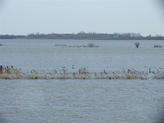
Full flood
The highest point of the winter flood March 07.
 Map © Crown Copyright")
TIP: Click the map for more Large scale mapping
- Grid Square
- TL2799, 98 images (more nearby 🔍)
- Photographer
- Tony Bennett (more nearby)
- Date Taken
- Sunday, 11 March, 2007 (more nearby)
- Submitted
- Sunday, 11 March, 2007
- Subject Location
-
OSGB36:
 TL 277 992 [100m precision]
WGS84: 52:34.5637N 0:6.9385W - Camera Location
-
OSGB36: TL 274 992
- View Direction
- EAST (about 90 degrees)