2007
SK9539 : Farmland at Belton Ashes
taken 17 years ago, near to Londonthorpe, Lincolnshire, England
This is 1 of 2 images, with title Farmland at Belton Ashes in this square
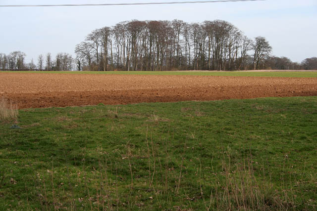
Farmland at Belton Ashes
This shows the flat "plateau" at the top of the ridge that bounds the eastern edge of the Belton Estate. The spot height just to the right of the clump of trees is 128 metres above sea level and the ground quickly falls away beyond towards Ancaster, SK9843.
 Map © Crown Copyright")
TIP: Click the map for more Large scale mapping
- Grid Square
- SK9539, 12 images (more nearby 🔍)
- Photographer
- Kate Jewell (more nearby)
- Date Taken
- Sunday, 11 March, 2007 (more nearby)
- Submitted
- Sunday, 11 March, 2007
- Subject Location
-
OSGB36:
 SK 956 396 [100m precision]
WGS84: 52:56.7544N 0:34.7046W - Camera Location
-
OSGB36: SK 952 393
- View Direction
- Northeast (about 45 degrees)