2013
SE8489 : Wheat Fields off Lockton Lane
taken 11 years ago, near to Lockton, North Yorkshire, England
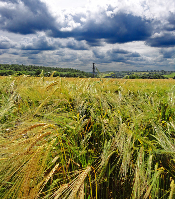
Wheat Fields off Lockton Lane
 Map © Crown Copyright")
TIP: Click the map for more Large scale mapping
- Grid Square
- SE8489, 62 images (more nearby 🔍)
- Photographer
- Scott Robinson (more nearby)
- Date Taken
- Friday, 2 August, 2013 (more nearby)
- Submitted
- Tuesday, 27 August, 2013
- Subject Location
-
OSGB36:
 SE 848 897 [100m precision]
WGS84: 54:17.7529N 0:41.8681W - Camera Location
-
OSGB36: SE 848 898
- View Direction
- SOUTH (about 180 degrees)