2013
SS6718 : Hill Head
taken 11 years ago, near to Elstone, Devon, England
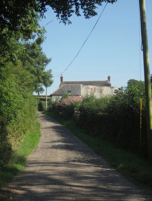
Hill Head
From its junction with Newnham Lane, looking up Head Hill to Hill Head, logically. The nearer building is part of the listed courtyard range Link (Archive Link ) ; the thatched farmhouse is "Probably late C17 or early C18" Link (Archive Link ) .
 Map © Crown Copyright")
TIP: Click the map for more Large scale mapping
- Grid Square
- SS6718, 10 images (more nearby 🔍)
- Photographer
- Derek Harper (more nearby)
- Date Taken
- Thursday, 22 August, 2013 (more nearby)
- Submitted
- Friday, 30 August, 2013
- Subject Location
-
OSGB36:
 SS 6717 1817 [10m precision]
WGS84: 50:56.8571N 3:53.5347W - Camera Location
-
OSGB36: SS 6711 1823
- View Direction
- Southeast (about 135 degrees)