2013
NS6763 : The Hangman's Brae
taken 11 years ago, near to Baillieston, Glasgow, Scotland
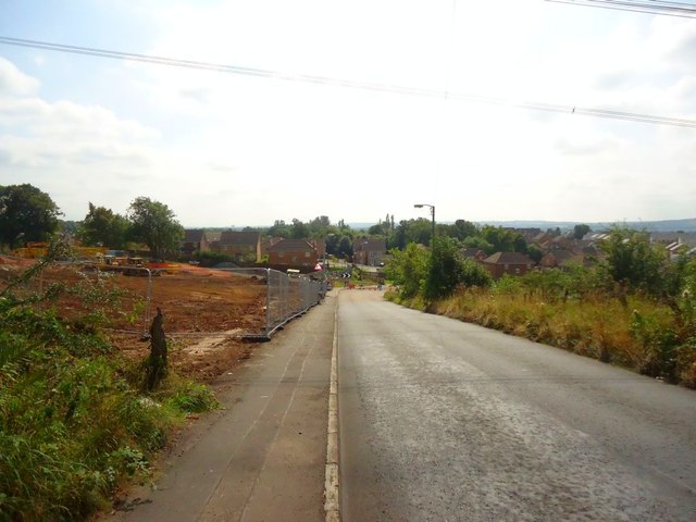
The Hangman's Brae
View downhill taking in recent civil works to the left.
 Map © Crown Copyright")
TIP: Click the map for more Large scale mapping
- Grid Square
- NS6763, 83 images (more nearby 🔍)
- Photographer
- Robert Murray (more nearby)
- Date Taken
- Sunday, 25 August, 2013 (more nearby)
- Submitted
- Saturday, 31 August, 2013
- Subject Location
-
OSGB36:
 NS 6789 6315 [10m precision]
WGS84: 55:50.6049N 4:6.6842W - Camera Location
-
OSGB36: NS 6787 6324
- View Direction
- South-southeast (about 157 degrees)