2007
NO1762 : SE ridge of Mount Blair
taken 17 years ago, near to Folda, Angus, Scotland
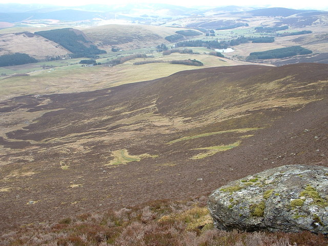
SE ridge of Mount Blair
Looking across Corrie Vannoch to the SE ridge of Mount Blair the river Isla beyond.
 Map © Crown Copyright")
TIP: Click the map for more Large scale mapping
- Grid Square
- NO1762, 3 images (more nearby 🔍)
- Photographer
- Paul Biggin (more nearby)
- Date Taken
- Monday, 12 March, 2007 (more nearby)
- Submitted
- Monday, 12 March, 2007
- Subject Location
-
OSGB36:
 NO 176 624 [100m precision]
WGS84: 56:44.7775N 3:20.8749W - Camera Location
-
OSGB36: NO 170 628
- View Direction
- Southeast (about 135 degrees)