2013
TG3605 : Farmland west of Fleet Dike
taken 11 years ago, near to Hassingham, Norfolk, England
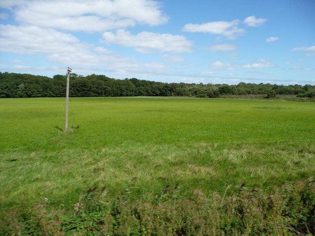
Farmland west of Fleet Dike
Former marshland on or below sea level.
 Map © Crown Copyright")
TIP: Click the map for more Large scale mapping
- Grid Square
- TG3605, 27 images (more nearby 🔍)
- Photographer
- Christine Johnstone (more nearby)
- Date Taken
- Saturday, 31 August, 2013 (more nearby)
- Submitted
- Wednesday, 4 September, 2013
- Subject Location
-
OSGB36:
 TG 3616 0511 [10m precision]
WGS84: 52:35.5464N 1:29.1160E - Camera Location
-
OSGB36: TG 3608 0507
- View Direction
- East-northeast (about 67 degrees)