2007
SE9256 : NE Of Aunhamdale Farm
taken 17 years ago, 3 km from Wetwang, East Riding of Yorkshire, England
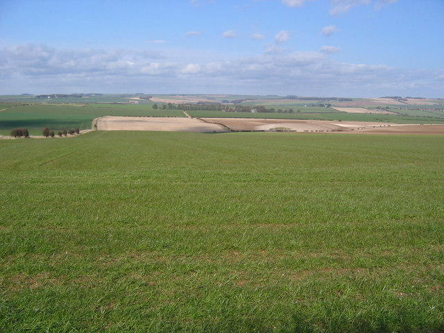
NE Of Aunhamdale Farm
A good view of a large part of this grid square, looking towards Huggate Lodge Farm in the adjacent square.
 Map © Crown Copyright")
TIP: Click the map for more Large scale mapping
- Grid Square
- SE9256, 12 images (more nearby 🔍)
- Photographer
- Stephen Horncastle (more nearby)
- Date Taken
- Tuesday, 13 March, 2007 (more nearby)
- Submitted
- Tuesday, 13 March, 2007
- Subject Location
-
OSGB36:
 SE 924 566 [100m precision]
WGS84: 53:59.8625N 0:35.4617W - Camera Location
-
OSGB36: SE 925 560
- View Direction
- NORTH (about 0 degrees)