2013
SU6342 : Lane to Upper Farm, near Bradley
taken 11 years ago, near to Bradley, Hampshire, England
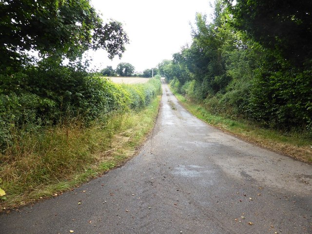
Lane to Upper Farm, near Bradley
 Map © Crown Copyright")
TIP: Click the map for more Large scale mapping
- Grid Square
- SU6342, 20 images (more nearby 🔍)
- Photographer
- David Gearing (more nearby)
- Date Taken
- Monday, 9 September, 2013 (more nearby)
- Submitted
- Wednesday, 11 September, 2013
- Subject Location
-
OSGB36:
 SU 633 421 [100m precision]
WGS84: 51:10.5050N 1:5.6845W - Camera Location
-
OSGB36: SU 633 421
- View Direction
- Southeast (about 135 degrees)