2007
SE1420 : Upper Fell Greave, Bradley, Huddersfield
taken 17 years ago, near to Rastrick, Calderdale, England
This is 1 of 4 images, with title starting with Upper Fell Greave in this square
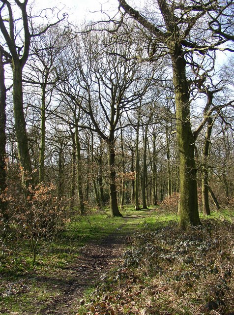
Upper Fell Greave, Bradley, Huddersfield
This part of the wood was detached from the remainder when the Bradford Road was constructed c.1824. This view is from Fell Greave Road.
 Map © Crown Copyright")
TIP: Click the map for more Large scale mapping
- Grid Square
- SE1420, 127 images (more nearby 🔍)
- Photographer
- Humphrey Bolton (more nearby)
- Date Taken
- Monday, 5 March, 2007 (more nearby)
- Submitted
- Tuesday, 13 March, 2007
- Subject Location
-
OSGB36:
 SE 149 200 [100m precision]
WGS84: 53:40.5755N 1:46.5552W - Camera Location
-
OSGB36: SE 149 200
- View Direction
- South-southwest (about 202 degrees)