2013
SN1809 : Fingerpost, Allen's Lane, Llanteg
taken 11 years ago, near to Llanteg, Pembrokeshire/Sir Benfro, Wales
This is 1 of 2 images, with title Fingerpost, Allen's Lane, Llanteg in this square
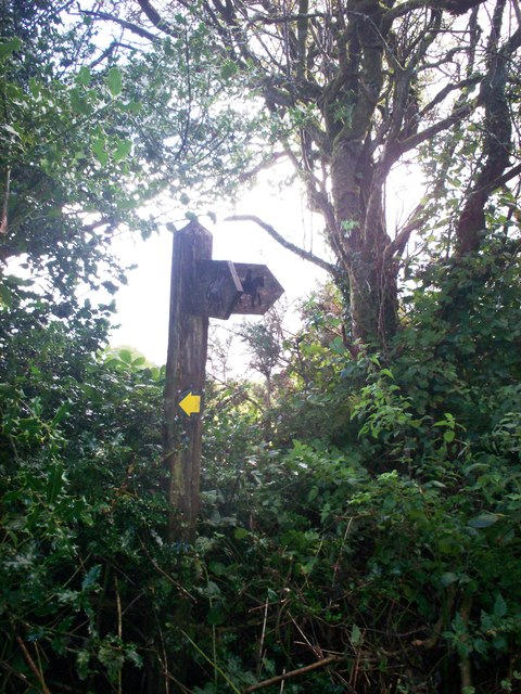
Fingerpost, Allen's Lane, Llanteg
 Map © Crown Copyright")
TIP: Click the map for more Large scale mapping
- Grid Square
- SN1809, 222 images (more nearby 🔍)
- Photographer
- welshbabe (more nearby)
- Date Taken
- Monday, 16 September, 2013 (more nearby)
- Submitted
- Tuesday, 17 September, 2013
- Subject Location
-
OSGB36:
 SN 1832 0968 [10m precision]
WGS84: 51:45.3758N 4:38.0229W - Camera Location
-
OSGB36: SN 1832 0968
- View Direction
- SOUTH (about 180 degrees)