2007
NS7092 : Gargunnock Burn
taken 17 years ago, near to Gargunnock, Stirling, Scotland
This is 1 of 2 images, with title Gargunnock Burn in this square
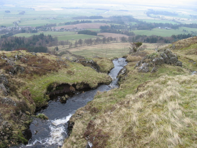
Gargunnock Burn
 Map © Crown Copyright")
TIP: Click the map for more Large scale mapping
- Grid Square
- NS7092, 9 images (more nearby 🔍)
- Photographer
- Chris Wimbush (more nearby)
- Date Taken
- Wednesday, 14 March, 2007 (more nearby)
- Submitted
- Wednesday, 14 March, 2007
- Subject Location
-
OSGB36:
 NS 707 929 [100m precision]
WGS84: 56:6.6778N 4:4.8515W - Camera Location
-
OSGB36: NS 7074 9284
- View Direction
- NORTH (about 0 degrees)