2013
NS3839 : National Cycle Network Route 73 between Springside & Knockentiber
taken 11 years ago, near to Knockentiber, East Ayrshire, Scotland
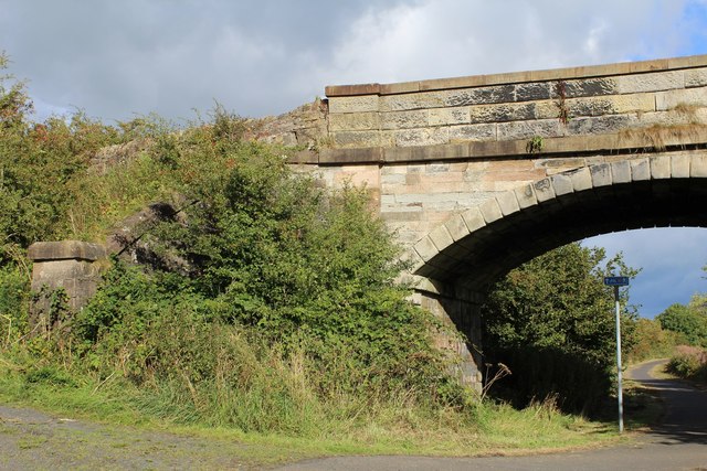
National Cycle Network Route 73 between Springside & Knockentiber
 Map © Crown Copyright")
TIP: Click the map for more Large scale mapping
- Grid Square
- NS3839, 16 images (more nearby 🔍)
- Photographer
- Leslie Barrie (more nearby)
- Date Taken
- Saturday, 14 September, 2013 (more nearby)
- Submitted
- Saturday, 21 September, 2013
- Subject Location
-
OSGB36:
 NS 3872 3985 [10m precision]
WGS84: 55:37.5242N 4:33.7816W - Camera Location
-
OSGB36: NS 3869 3985
- View Direction
- East-northeast (about 67 degrees)