2013
NO5133 : Track from Balhungie to Ashbank
taken 11 years ago, near to Mains of Ardestie, Angus, Scotland
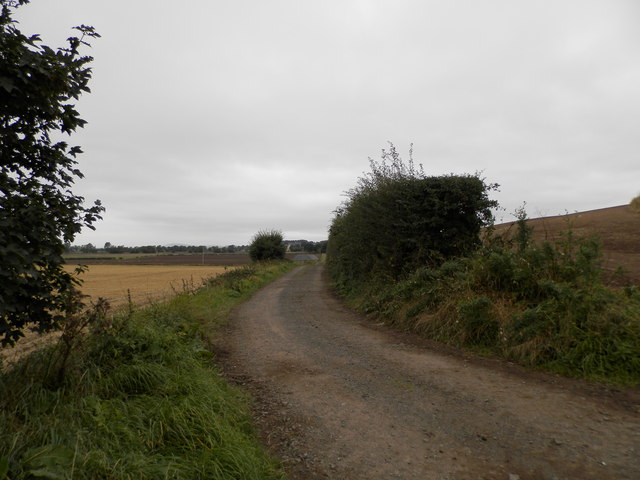
Track from Balhungie to Ashbank
 Map © Crown Copyright")
TIP: Click the map for more Large scale mapping
- Grid Square
- NO5133, 8 images (more nearby 🔍)
- Photographer
- Douglas Nelson (more nearby)
- Date Taken
- Saturday, 21 September, 2013 (more nearby)
- Submitted
- Saturday, 21 September, 2013
- Subject Location
-
OSGB36:
 NO 511 339 [100m precision]
WGS84: 56:29.6941N 2:47.7399W - Camera Location
-
OSGB36: NO 511 339
- View Direction
- Southwest (about 225 degrees)