2013
SO3303 : Cefn Mawr Lane, near Penpedairheol
taken 11 years ago, near to Monkswood, Monmouthshire/Sir Fynwy, Wales
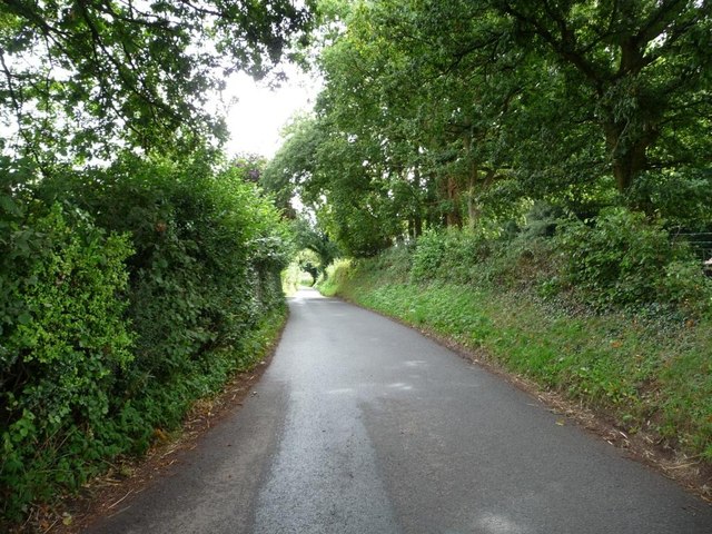
Cefn Mawr Lane, near Penpedairheol
Heading south-east towards the A472 and Usk.
 Map © Crown Copyright")
TIP: Click the map for more Large scale mapping
- Grid Square
- SO3303, 13 images (more nearby 🔍)
- Photographer
- Christine Johnstone (more nearby)
- Date Taken
- Friday, 13 September, 2013 (more nearby)
- Submitted
- Saturday, 21 September, 2013
- Subject Location
-
OSGB36:
 SO 3361 0369 [10m precision]
WGS84: 51:43.6787N 2:57.7583W - Camera Location
-
OSGB36: SO 3359 0370
- View Direction
- East-southeast (about 112 degrees)