2007
TQ8661 : Muddy underpass
taken 17 years ago, near to Oad Street, Kent, England
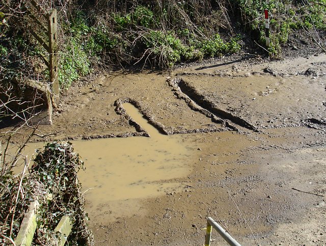
Muddy underpass
Truly a question of geography, this. The track is in a cutting to go under the motorway Link so mud washes off the field and puddles on the concrete surface by the bridge.
 Map © Crown Copyright")
TIP: Click the map for more Large scale mapping
- Grid Square
- TQ8661, 24 images (more nearby 🔍)
- Photographer
- Penny Mayes (more nearby)
- Date Taken
- Monday, 12 March, 2007 (more nearby)
- Submitted
- Thursday, 15 March, 2007
- Subject Location
-
OSGB36:
 TQ 865 617 [100m precision]
WGS84: 51:19.4501N 0:40.5517E - Camera Location
-
OSGB36: TQ 865 617
- View Direction
- Southeast (about 135 degrees)