2013
NT8901 : Yardhope Flow
taken 11 years ago, 5 km S of Linshiels, Northumberland, England
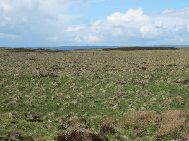
Yardhope Flow
 Map © Crown Copyright")
TIP: Click the map for more Large scale mapping
- Grid Square
- NT8901, 19 images (more nearby 🔍)
- Photographer
- Mike Quinn (more nearby)
- Date Taken
- Saturday, 15 June, 2013 (more nearby)
- Submitted
- Monday, 23 September, 2013
- Subject Location
-
OSGB36:
 NT 8931 0157 [10m precision]
WGS84: 55:18.4862N 2:10.1969W - Camera Location
-
OSGB36: NT 89800 01782
- View Direction
- West-southwest (about 247 degrees)