2013
SE3236 : Rossington Road - Upland Grove
taken 11 years ago, near to Roundhay, Leeds, England
This is 1 of 2 images, with title Rossington Road - Upland Grove in this square
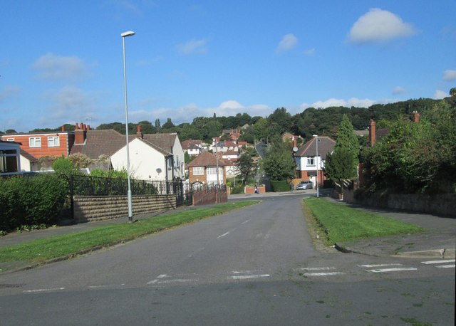
Rossington Road - Upland Grove
 Map © Crown Copyright")
TIP: Click the map for more Large scale mapping
- Grid Square
- SE3236, 186 images (more nearby 🔍)
- Photographer
- Betty Longbottom (more nearby)
- Date Taken
- Monday, 23 September, 2013 (more nearby)
- Submitted
- Monday, 23 September, 2013
- Subject Location
-
OSGB36:
 SE 3237 3619 [10m precision]
WGS84: 53:49.2590N 1:30.5866W - Camera Location
-
OSGB36: SE 3238 3618
- View Direction
- Northwest (about 315 degrees)