2013
TQ2249 : Route of new Water Main
taken 11 years ago, near to Betchworth, Surrey, England
This is 1 of 2 images, with title Route of new Water Main in this square
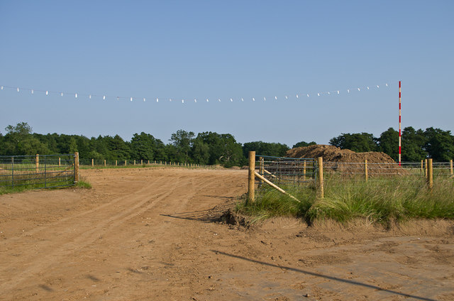
Route of new Water Main
During 2013, Sutton and East Surrey Water have been undertaking a major project to lay a new 32" water main from Outwood to Buckland. Here is its route south of Wonham Lane.
 Map © Crown Copyright")
TIP: Click the map for more Large scale mapping
- Grid Square
- TQ2249, 75 images (more nearby 🔍)
- Photographer
- Ian Capper (more nearby)
- Date Taken
- Sunday, 7 July, 2013 (more nearby)
- Submitted
- Monday, 23 September, 2013
- Subject Location
-
OSGB36:
 TQ 224 494 [100m precision]
WGS84: 51:13.8638N 0:14.8865W - Camera Location
-
OSGB36: TQ 223 494
- View Direction
- East-southeast (about 112 degrees)