2013
ST6822 : Field near Stowell
taken 11 years ago, near to Stowell, Somerset, England
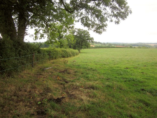
Field near Stowell
A field crossed by footpath WN 14/21, which is shown on the 1:25000 map as crossing the field boundary on the left about 25 metres from the hedge behind me. In fact the crossing is hidden in the corner of the field, left behind the camera.
 Map © Crown Copyright")
TIP: Click the map for more Large scale mapping
- Grid Square
- ST6822, 27 images (more nearby 🔍)
- Photographer
- Derek Harper (more nearby)
- Date Taken
- Saturday, 14 September, 2013 (more nearby)
- Submitted
- Wednesday, 25 September, 2013
- Subject Location
-
OSGB36:
 ST 6880 2266 [10m precision]
WGS84: 51:0.1486N 2:26.7614W - Camera Location
-
OSGB36: ST 6880 2268
- View Direction
- SOUTH (about 180 degrees)