2013
ST6823 : Track near the Monarch's Way
taken 11 years ago, near to South Cheriton, Somerset, England
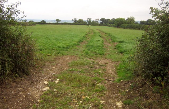
Track near the Monarch's Way
And a good deal easier walking than the Monarch's Way, which struggles through an adjacent maize field. But this isn't the route of a right of way.
 Map © Crown Copyright")
TIP: Click the map for more Large scale mapping
- Grid Square
- ST6823, 12 images (more nearby 🔍)
- Photographer
- Derek Harper (more nearby)
- Date Taken
- Saturday, 14 September, 2013 (more nearby)
- Submitted
- Wednesday, 25 September, 2013
- Subject Location
-
OSGB36:
 ST 687 237 [100m precision]
WGS84: 51:0.7093N 2:26.8523W - Camera Location
-
OSGB36: ST 6870 2370
- View Direction
- Northeast (about 45 degrees)