2013
TG1520 : School Road, Haveringland
taken 11 years ago, near to Haveringland, Norfolk, England
This is 1 of 4 images, with title School Road, Haveringland in this square
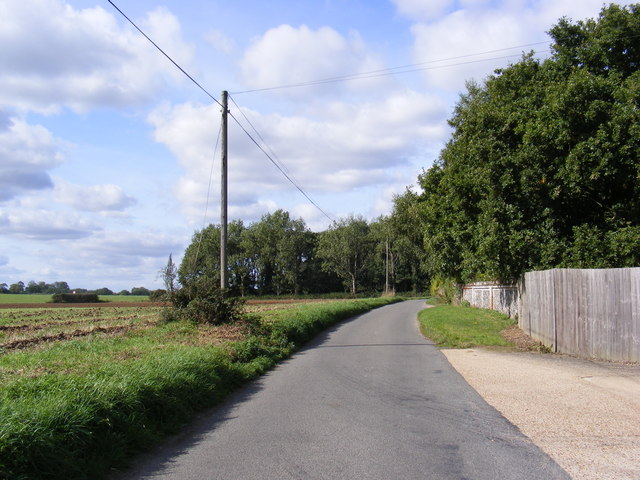
School Road, Haveringland
Looking towards Haveringland Road near Locks Farm
Road no.C279
Road no.C279
 Map © Crown Copyright")
TIP: Click the map for more Large scale mapping
- Grid Square
- TG1520, 116 images (more nearby 🔍)
- Photographer
- Geographer (more nearby)
- Date Taken
- Thursday, 26 September, 2013 (more nearby)
- Submitted
- Saturday, 28 September, 2013
- Subject Location
-
OSGB36:
 TG 15451 20447 [1m precision]
WGS84: 52:44.3219N 1:11.4043E - Camera Location
-
OSGB36: TG 15451 20447
- View Direction
- WEST (about 270 degrees)