2013
SU7005 : Brockhampton Road Bridge, A27
taken 11 years ago, near to Bedhampton, Hampshire, England
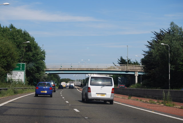
Brockhampton Road Bridge, A27
 Map © Crown Copyright")
TIP: Click the map for more Large scale mapping
- Grid Square
- SU7005, 231 images (more nearby 🔍)
- Photographer
- N Chadwick (more nearby)
- Date Taken
- Sunday, 30 June, 2013 (more nearby)
- Submitted
- Saturday, 28 September, 2013
- Subject Location
-
OSGB36:
 SU 7090 0599 [10m precision]
WGS84: 50:50.9457N 0:59.6545W - Camera Location
-
OSGB36: SU 7083 0599
- View Direction
- EAST (about 90 degrees)