2013
TG1720 : Green Lane, Haveringland
taken 11 years ago, near to The Heath, Norfolk, England
This is 1 of 4 images, with title Green Lane, Haveringland in this square
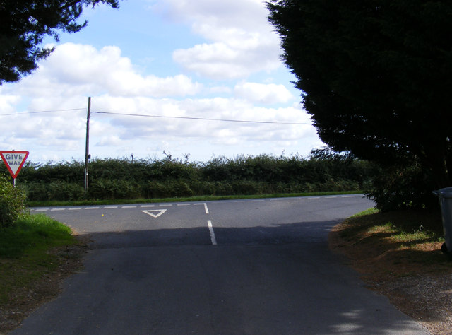
Green Lane, Haveringland
At the junction with the B1149 Holt Road
Road no.C279
Road no.C279
 Map © Crown Copyright")
TIP: Click the map for more Large scale mapping
- Grid Square
- TG1720, 24 images (more nearby 🔍)
- Photographer
- Geographer (more nearby)
- Date Taken
- Thursday, 26 September, 2013 (more nearby)
- Submitted
- Sunday, 29 September, 2013
- Subject Location
-
OSGB36:
 TG 17216 20457 [1m precision]
WGS84: 52:44.2850N 1:12.9707E - Camera Location
-
OSGB36: TG 17197 20453
- View Direction
- East-northeast (about 67 degrees)