2013
NX0460 : Public Path to Springbank
taken 11 years ago, near to Stranraer, Dumfries And Galloway, Scotland
This is 1 of 4 images, with title Public Path to Springbank in this square
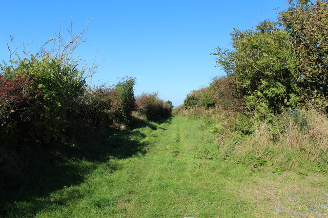
Public Path to Springbank
 Map © Crown Copyright")
TIP: Click the map for more Large scale mapping
- Grid Square
- NX0460, 58 images (more nearby 🔍)
- Photographer
- Billy McCrorie (more nearby)
- Date Taken
- Sunday, 29 September, 2013 (more nearby)
- Submitted
- Monday, 30 September, 2013
- Subject Location
-
OSGB36:
 NX 045 605 [100m precision]
WGS84: 54:54.0534N 5:2.9708W - Camera Location
-
OSGB36: NX 045 604
- View Direction
- North-northwest (about 337 degrees)