2006
SN7840 : Nant Bargoed
taken 18 years ago, near to Cynghordy, Carmarthenshire/Sir Gaerfyrddin, Wales
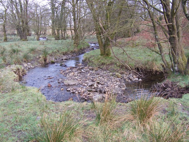
Nant Bargoed
Nant Bargoed cuts through blue clay, once used to make Cynghordy bricks. It is a tributary of Afon Bran.
 Map © Crown Copyright")
TIP: Click the map for more Large scale mapping
- Grid Square
- SN7840, 18 images (more nearby 🔍)
- Photographer
- Margaret Watson (more nearby)
- Date Taken
- Monday, 13 March, 2006 (more nearby)
- Submitted
- Friday, 16 March, 2007
- Subject Location
-
OSGB36:
 SN 786 408 [100m precision]
WGS84: 52:3.1842N 3:46.2615W - Camera Location
-
OSGB36: SN 786 408
- View Direction
- North-northwest (about 337 degrees)