2013
SU8463 : Pinehill Road, Crowthorne
taken 11 years ago, near to Crowthorne, Bracknell Forest, England
This is 1 of 3 images, with title Pinehill Road, Crowthorne in this square
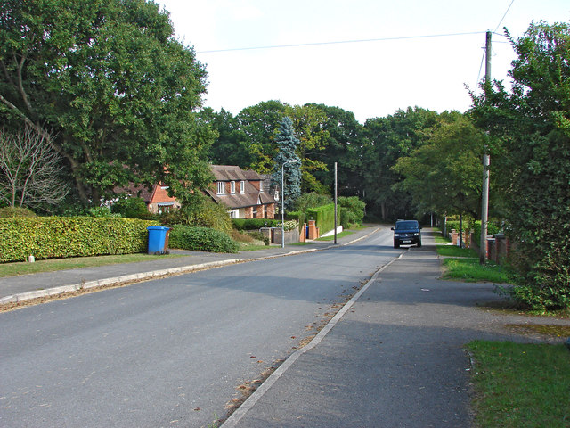
Pinehill Road, Crowthorne
The eastern end of Pinehills Road, a residential road dating from the 1930s.
 Map © Crown Copyright")
TIP: Click the map for more Large scale mapping
- Grid Square
- SU8463, 64 images (more nearby 🔍)
- Photographer
- Alan Hunt (more nearby)
- Date Taken
- Sunday, 29 September, 2013 (more nearby)
- Submitted
- Monday, 30 September, 2013
- Subject Location
-
OSGB36:
 SU 8466 6344 [10m precision]
WGS84: 51:21.8236N 0:47.1219W - Camera Location
-
OSGB36: SU 8461 6344
- View Direction
- EAST (about 90 degrees)