2013
NT1864 : Causeway, Threipmuir Reservoir
taken 11 years ago, 3 km from Balerno, Edinburgh, Scotland
This is 1 of 3 images, with title Causeway, Threipmuir Reservoir in this square
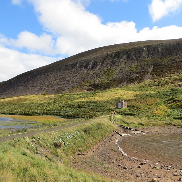
Causeway, Threipmuir Reservoir
The reservoir has been drawn down during the dry Summer. Upstream of the causeway the water level is maintained at an almost constant level. The slopes of Black Hill have been burnt clear of heather showing some broken crags.
 Map © Crown Copyright")
TIP: Click the map for more Large scale mapping
- Grid Square
- NT1864, 92 images (more nearby 🔍)
- Photographer
- Richard Webb (more nearby)
- Date Taken
- Sunday, 22 September, 2013 (more nearby)
- Submitted
- Monday, 30 September, 2013
- Subject Location
-
OSGB36:
 NT 1869 6414 [10m precision]
WGS84: 55:51.8133N 3:18.0431W - Camera Location
-
OSGB36: NT 1866 6417
- View Direction
- Southeast (about 135 degrees)