2013
SP5407 : The House at The Manor Farm, Dunstan Road
taken 11 years ago, near to Marston, Oxfordshire, England
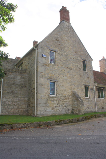
The House at The Manor Farm, Dunstan Road
There is an OS benchmark SP5407 : Benchmark on The Manor Farm house on the front of the house at the near corner
 Map © Crown Copyright")
TIP: Click the map for more Large scale mapping
- Grid Square
- SP5407, 236 images (more nearby 🔍)
- Photographer
- Roger Templeman (more nearby)
- Date Taken
- Wednesday, 18 September, 2013 (more nearby)
- Submitted
- Tuesday, 1 October, 2013
- Subject Location
-
OSGB36:
 SP 5412 0779 [10m precision]
WGS84: 51:45.9709N 1:13.0295W - Camera Location
-
OSGB36: SP 5413 0780
- View Direction
- Southwest (about 225 degrees)