2013
NU2516 : Howick Hillfort
taken 11 years ago, near to Howick, Northumberland, England
This is 1 of 2 images, with title Howick Hillfort in this square
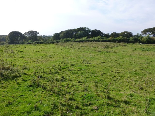
Howick Hillfort
This shows the large flat top, some fifty plus yards across, and mostly surrounded by gorse and thistles.
 Map © Crown Copyright")
TIP: Click the map for more Large scale mapping
- Grid Square
- NU2516, 151 images (more nearby 🔍)
- Photographer
- Russel Wills (more nearby)
- Date Taken
- Tuesday, 1 October, 2013 (more nearby)
- Submitted
- Tuesday, 1 October, 2013
- Subject Location
-
OSGB36:
 NU 2556 1630 [10m precision]
WGS84: 55:26.3951N 1:35.8536W - Camera Location
-
OSGB36: NU 25593 16301
- View Direction
- WEST (about 270 degrees)