2013
SU4400 : Chale Wood
taken 11 years ago, near to Langley, Hampshire, England
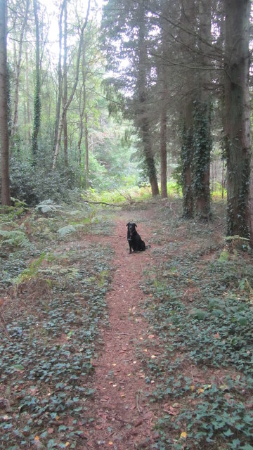
Chale Wood
A walk into Chale Wood on the map this track appears to be a dead end although it did seem to go on towards East Hill Farm but we didn't take the path so I am not sure if it does or not.
 Map © Crown Copyright")
TIP: Click the map for more Large scale mapping
- Grid Square
- SU4400, 20 images (more nearby 🔍)
- Photographer
- Sue Turner (more nearby)
- Date Taken
- Friday, 27 September, 2013 (more nearby)
- Submitted
- Wednesday, 2 October, 2013
- Subject Location
-
OSGB36:
 SU 4413 0024 [10m precision]
WGS84: 50:48.0028N 1:22.5100W - Camera Location
-
OSGB36: SU 4410 0030
- View Direction
- South-southeast (about 157 degrees)