2013
TA1366 : Farmland beside bridleway
taken 11 years ago, near to Carnaby, East Riding of Yorkshire, England
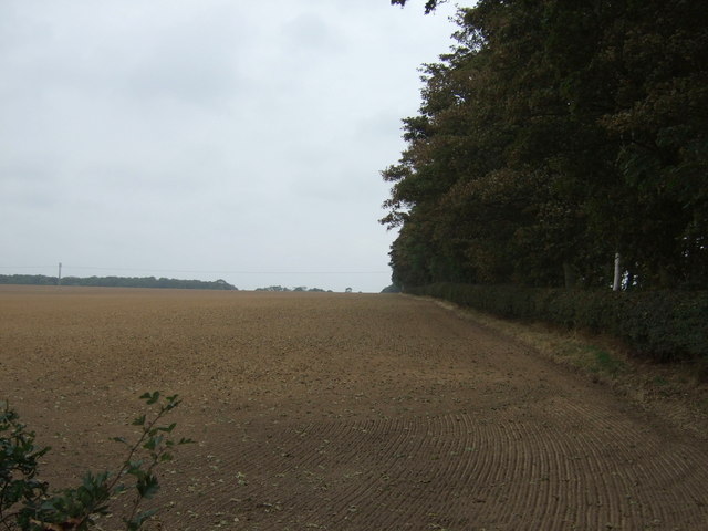
Farmland beside bridleway
Off Church Lane.
 Map © Crown Copyright")
TIP: Click the map for more Large scale mapping
- Grid Square
- TA1366, 81 images (more nearby 🔍)
- Photographer
- JThomas (more nearby)
- Date Taken
- Wednesday, 2 October, 2013 (more nearby)
- Submitted
- Wednesday, 2 October, 2013
- Subject Location
-
OSGB36:
 TA 137 661 [100m precision]
WGS84: 54:4.6956N 0:15.7355W - Camera Location
-
OSGB36: TA 138 660
- View Direction
- North-northwest (about 337 degrees)