2013
NS0470 : Tractor tracks above Shalunt
taken 11 years ago, near to Glenmore, Bute, Argyll And Bute, Scotland
This is 1 of 2 images, with title Tractor tracks above Shalunt in this square
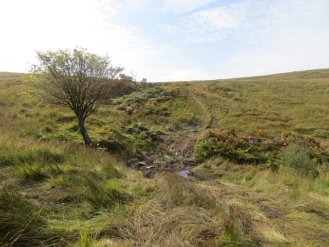
Tractor tracks above Shalunt
Very wet moorland in northern Bute. This is on a short ascent route to Windy Hill. What was this land like in all the wet years?
 Map © Crown Copyright")
TIP: Click the map for more Large scale mapping
- Grid Square
- NS0470, 10 images (more nearby 🔍)
- Photographer
- Richard Webb (more nearby)
- Date Taken
- Saturday, 28 September, 2013 (more nearby)
- Submitted
- Thursday, 3 October, 2013
- Subject Location
-
OSGB36:
 NS 0423 7085 [10m precision]
WGS84: 55:53.4521N 5:7.9322W - Camera Location
-
OSGB36: NS 0425 7084
- View Direction
- West-northwest (about 292 degrees)