2013
SK4724 : Farmland north of Long Whatton
taken 11 years ago, near to Long Whatton, Leicestershire, England
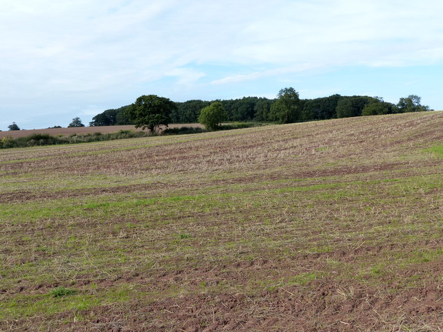
Farmland north of Long Whatton
The woodland in the distance has the curious name His Lordships.
 Map © Crown Copyright")
TIP: Click the map for more Large scale mapping
- Grid Square
- SK4724, 5 images (more nearby 🔍)
- Photographer
- Mat Fascione (more nearby)
- Date Taken
- Thursday, 26 September, 2013 (more nearby)
- Submitted
- Friday, 4 October, 2013
- Subject Location
-
OSGB36:
 SK 478 243 [100m precision]
WGS84: 52:48.8910N 1:17.5248W - Camera Location
-
OSGB36: SK 479 240
- View Direction
- North-northwest (about 337 degrees)