2007
SJ6259 : Crompton Brook , Cholmondeston
taken 17 years ago, near to Wettenhall, Cheshire East, England
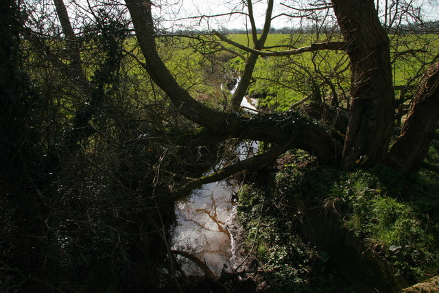
Crompton Brook , Cholmondeston
A number of small brooks meander across this very flat part of the Cheshire Plain which lie east of the Peckforton Hills and west of the Peak District.
This is just one of them.
This is just one of them.
 Map © Crown Copyright")
TIP: Click the map for more Large scale mapping
- Grid Square
- SJ6259, 11 images (more nearby 🔍)
- Photographer
- Peter Styles (more nearby)
- Date Taken
- Saturday, 17 March, 2007 (more nearby)
- Submitted
- Saturday, 17 March, 2007
- Subject Location
-
OSGB36:
 SJ 625 597 [100m precision]
WGS84: 53:7.9878N 2:33.7168W - Camera Location
-
OSGB36: SJ 625 597
- View Direction
- South-southeast (about 157 degrees)