2013

TQ3004 : King's Rd

taken 11 years ago, near to Brighton and Hove, England
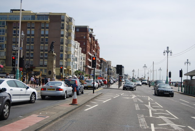
King's Rd
King's Rd
The A259 is a busy route along the south coast of England. It runs 120 miles from Havant in Hampshire to Folkestone in Kent, via West and East Sussex.
LinkExternal link

See other images of A259 Road

Creative Commons Licence [Some Rights Reserved]   © Copyright N Chadwick and licensed for reuse under this Creative Commons Licence.
Geographical Context: Roads, Road transport
This photo is linked from: Automatic Clusters: · Kings Road [97] ·
1:50,000 Modern Day Landranger(TM) Map © Crown Copyright
+
+
1:50,000 Modern Day Landranger(TM) Map © Crown Copyright
TIP: Click the map for more Large scale mapping
Grid Square
TQ3004, 1737 images   (more nearby 🔍)
Photographer
N Chadwick   (more nearby)
Date Taken
Saturday, 13 July, 2013   (more nearby)
Submitted
Sunday, 6 October, 2013
Subject Location
OSGB36: geotagged! TQ 3030 0409 [10m precision]
WGS84: 50:49.3021N 0:9.0905W
Camera Location
OSGB36: geotagged! TQ 3027 0410
View Direction
East-southeast (about 112 degrees)
Clickable map
+
NW N NE
W Go E
SW S SE
Image classification(about): Geograph
This page has been viewed about 13 times
You are not logged in login | register