2013
NS1967 : Skelmorlie
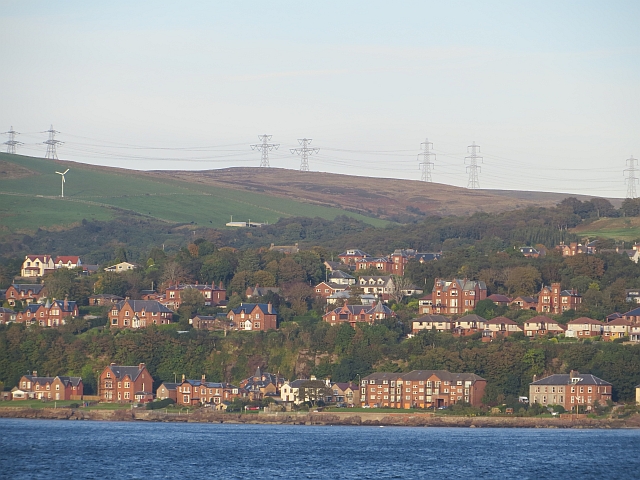
taken 11 years ago, near to Upper Skelmorlie, North Ayrshire, Scotland
Skelmorlie
View from the Rothesay to Wemyss Bay ferry while crossing the Skelmorlie dredged channel. There is a row of houses on a raised beach and then a gap for the old sea cliffs.
 Map © Crown Copyright")
TIP: Click the map for more Large scale mapping
- Grid Square
- NS1967, 213 images (more nearby 🔍)
- Photographer
- Richard Webb (more nearby)
- Date Taken
- Sunday, 29 September, 2013 (more nearby)
- Submitted
- Monday, 7 October, 2013
- Subject Location
-
OSGB36:
 NS 193 674 [100m precision]
WGS84: 55:51.9822N 4:53.2820W - Camera Location
-
OSGB36: NS 175 668
- View Direction
- East-northeast (about 67 degrees)