2013
SN8155 : Forestry road in Coed Nant-yr-hwch, Powys
taken 11 years ago, 5 km NW of Abergwesyn, Powys, Wales
This is 1 of 5 images, with title Forestry road in Coed Nant-yr-hwch, Powys in this square
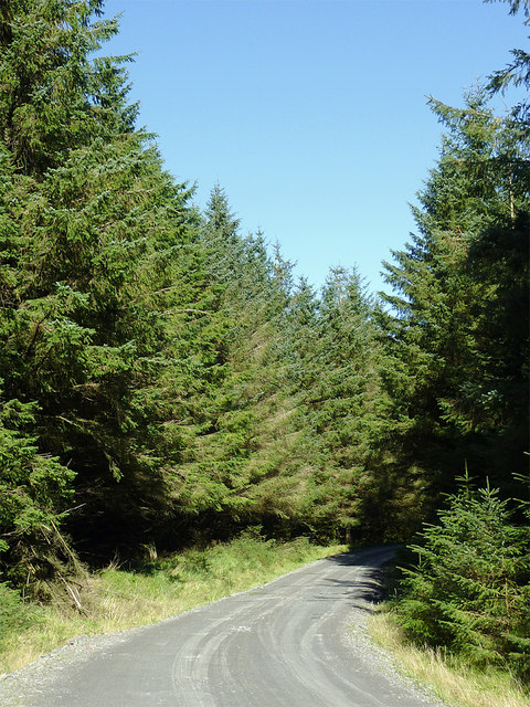
Forestry road in Coed Nant-yr-hwch, Powys
Looking north-east along this meandering forestry road. This is the way heavy timber lorries will approach the public road system, and via a severe but fairly straight descent into the Tywi valley, a way southwards avoiding the steepest and most tortuous routes. Coed Nantyrhwch is part of the extensive Tywi forest, begun in the 1960s. Many trees have been felled in recent years and some replanting has taken place; these must be scheduled for clearance before very long.
 Map © Crown Copyright")
TIP: Click the map for more Large scale mapping
- Grid Square
- SN8155, 20 images (more nearby 🔍)
- Photographer
- Roger D Kidd (more nearby)
- Date Taken
- Monday, 23 September, 2013 (more nearby)
- Submitted
- Monday, 7 October, 2013
- Subject Location
-
OSGB36:
 SN 8154 5559 [10m precision]
WGS84: 52:11.1477N 3:44.0499W - Camera Location
-
OSGB36: SN 8152 5554
- View Direction
- North-northeast (about 22 degrees)