2013
SS7420 : B3137 at Underhill
taken 11 years ago, near to Meshaw, Devon, England
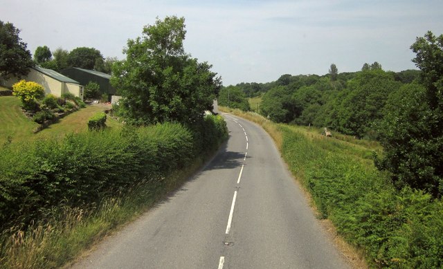
B3137 at Underhill
The B3137 follows the Little Silver Stream valley from here to Alswear where it joins the Mole.
 Map © Crown Copyright")
TIP: Click the map for more Large scale mapping
- Grid Square
- SS7420, 9 images (more nearby 🔍)
- Photographer
- Derek Harper (more nearby)
- Date Taken
- Thursday, 18 July, 2013 (more nearby)
- Submitted
- Tuesday, 8 October, 2013
- Subject Location
-
OSGB36:
 SS 7456 2040 [10m precision]
WGS84: 50:58.1591N 3:47.2723W - Camera Location
-
OSGB36: SS 7461 2036
- View Direction
- West-northwest (about 292 degrees)