2013
R1732 : Wind farm and forestry
taken 11 years ago, 5 km NNW of Inchabaun, Co Limerick, Ireland
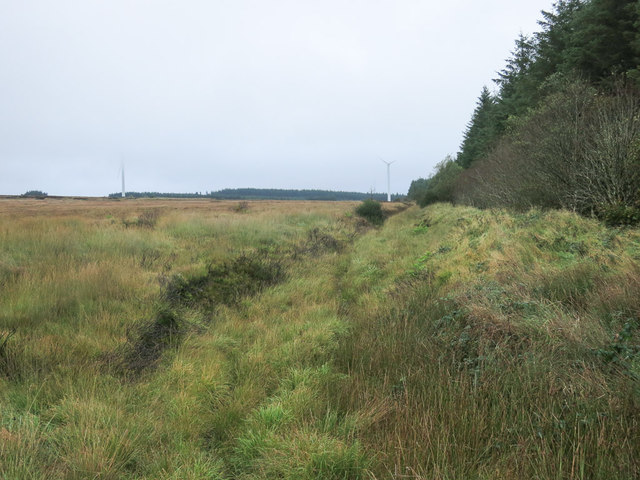
Wind farm and forestry
All the photo is in this square, including the wind turbines lost in low cloud, and the line of forestry behind. The immediate foreground is a deep drainage ditch alongside the plantation.
Loading map... (JavaScript required)
- Grid Square
- R1732 (more nearby 🔍)
- Photographer
- Neville Goodman (more nearby)
- Date Taken
- Sunday, 6 October, 2013 (more nearby)
- Submitted
- Wednesday, 9 October, 2013
- Subject Location
-
Irish:
 R 174 325 [100m precision]
WGS84: 52:26.3012N 9:12.8841W - Camera Location
-
Irish: R 173 323
- View Direction
- Northeast (about 45 degrees)